Hut Catch · Great Walk guide
Walking the Routeburn Track
Two or three days across the Southern Alps, from the Routeburn valley near Glenorchy over Harris Saddle to The Divide on the Milford Road. What each section is like, where you sleep, how to get there, and how to get a bunk when it's booked out.
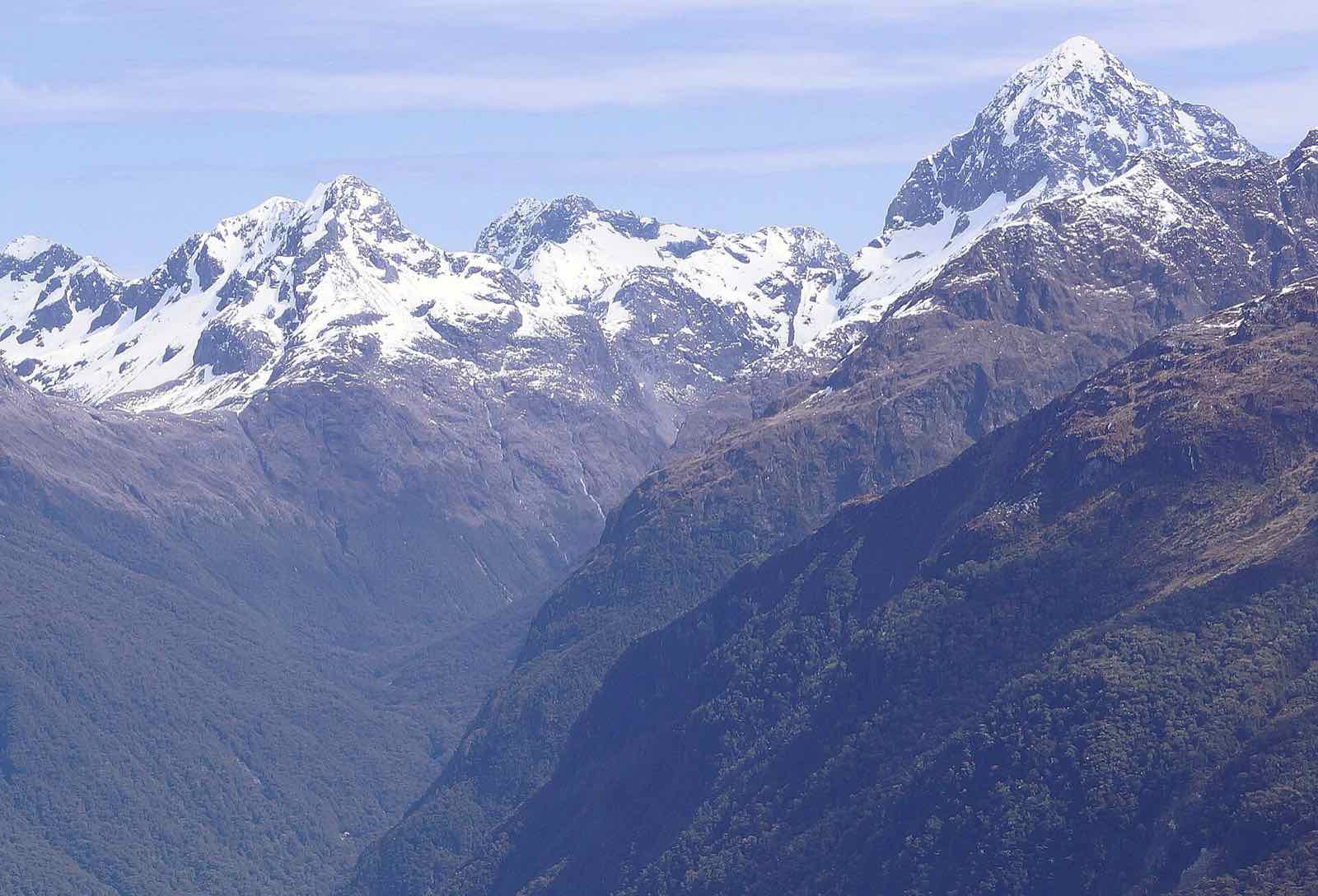
Ngatimamoe Peak from the Routeburn Track. Photo: Manuel Osdoba, CC BY-SA 2.0
The Routeburn Track links Mount Aspiring and Fiordland national parks. In 32km it climbs the Route Burn valley to Harris Saddle/Tarahaka Whakatipu at 1,255m, crosses the Hollyford Face high above the Hollyford valley, then drops past Lake Mackenzie and Earland Falls to The Divide.
You can walk it in either direction. Most people take three days and two nights, staying at Routeburn Falls Hut and Lake Mackenzie Hut. In the Great Walks season, 1 November to 30 April, every hut and campsite has to be booked.
Map
The Routeburn Track with its huts and campsites. Zoom in with the + and − buttons.
Section by section
From the Routeburn Shelter end. Most people stop at Routeburn Falls after the first two sections and at Lake Mackenzie after the third.
Section 1Routeburn Shelter to Routeburn Flats Hut
The track winds beside the clear water of the Route Burn, past Sugarloaf Stream, then climbs to Bridal Veil Falls and carries on above the gorge to the open Routeburn Flats.
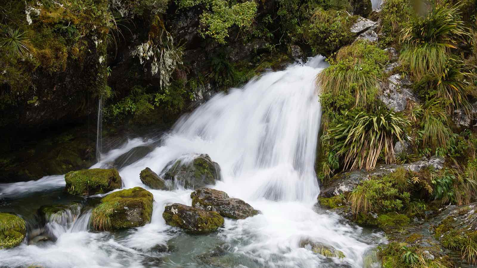
A waterfall beside the Routeburn Track. Photo: Christoph Strässler, CC BY-SA 2.0 Section 2Routeburn Flats Hut to Routeburn Falls Hut
A steady climb through beech forest, with views of the Humboldt Mountains, to Routeburn Falls Hut.
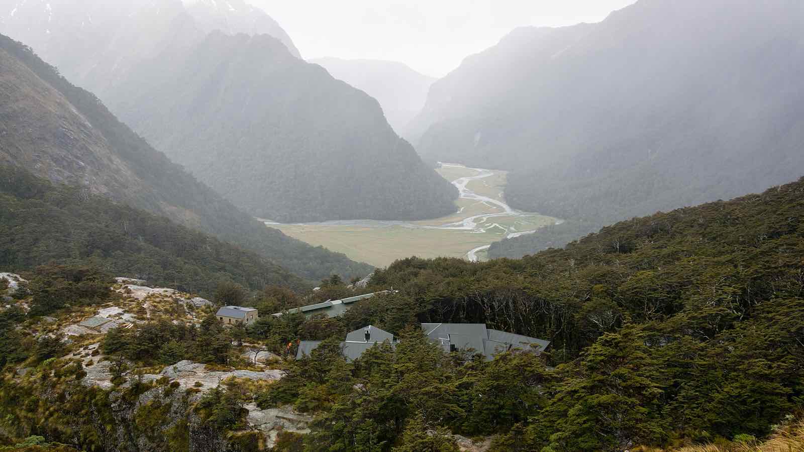
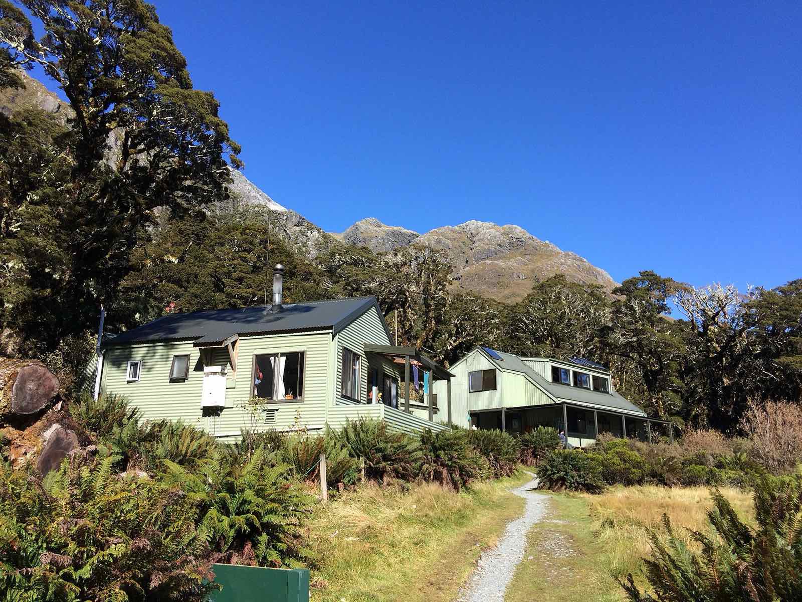
Routeburn Falls Hut, above the Routeburn Flats. Photo: Christoph Strässler, CC BY-SA 2.0 Section 3Routeburn Falls Hut to Lake Mackenzie Hut
The alpine day. The track climbs through tussock and wetlands to Harris Saddle/Tarahaka Whakatipu, then crosses the exposed Hollyford Face, full of alpine plants, before dropping to Lake Mackenzie. On a clear day, the climb up Conical Hill from the saddle is worth the extra effort.
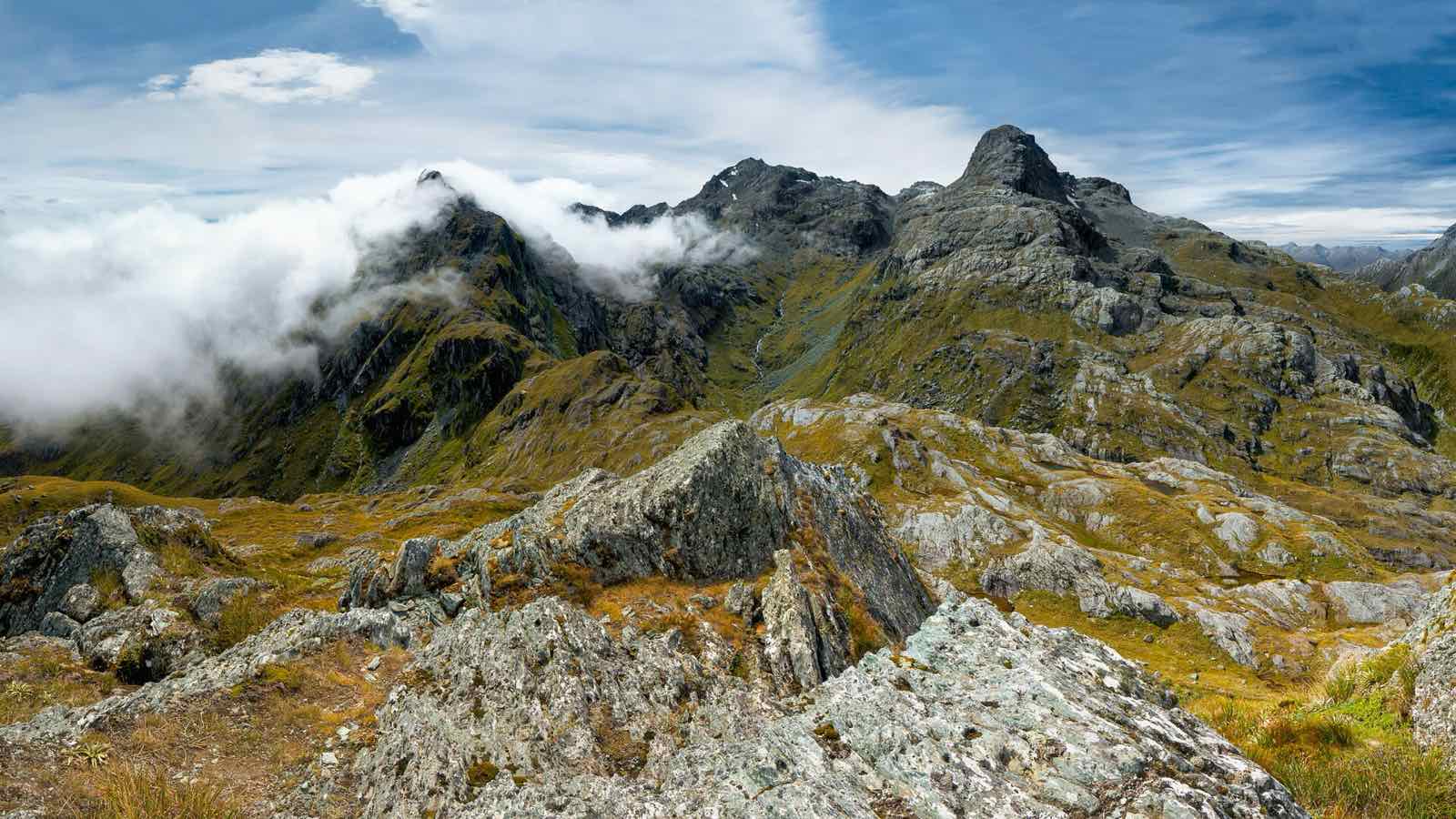
Conical Hill, above Harris Saddle. Photo: Ilya Grigorik, CC BY-SA 3.0 Section 4Lake Mackenzie Hut to The Divide
A small flat, a climb to the bushline, then a gradual descent past the 'Orchard' to Earland Falls, 174m high, and on to The Divide on the Milford Road.
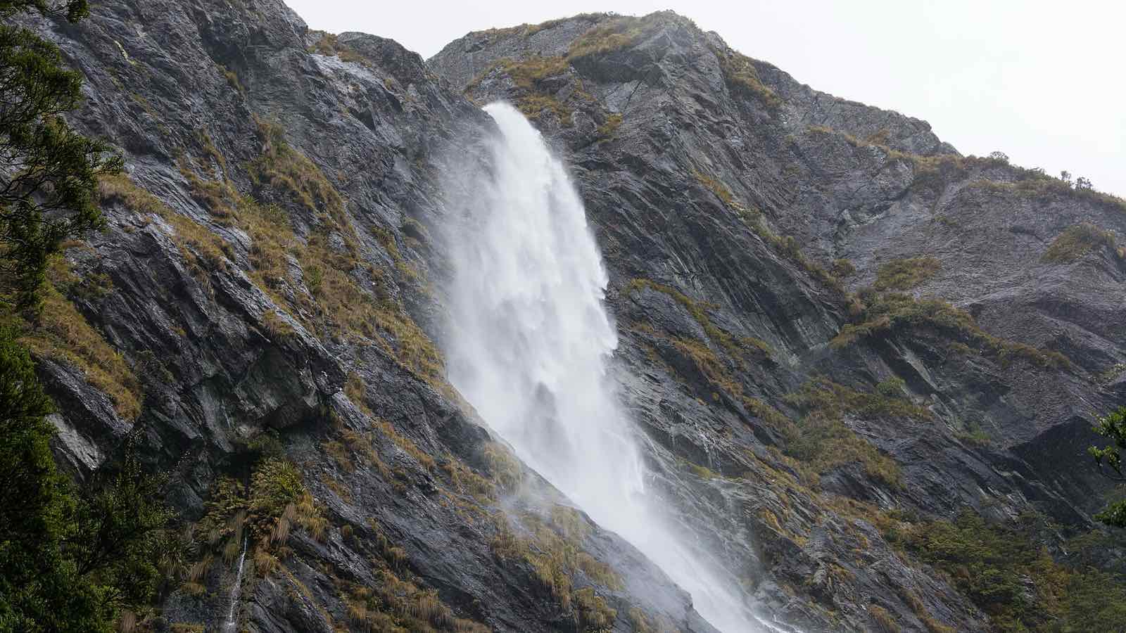
Earland Falls. Photo: Christoph Strässler, CC BY-SA 2.0
Watch the track
A walk-through of the Routeburn Track's alpine section, its hazards and the decisions you'll make on the way, from the NZ Mountain Safety Council.
Huts and campsites
Routeburn Flats, Routeburn Falls and Lake Mackenzie huts have bunks with mattresses, heating, toilets, basic cooking facilities, solar lighting and cold running water. There are also campsites at Routeburn Flats and Lake Mackenzie, which need booking in the season just like the huts.
Getting there
The Routeburn Shelter is 25km from Glenorchy, partly on unsealed road. The Divide is 85km from Te Anau on the Milford Road. The two ends are about 325km apart by road, so most people use shuttle services from Queenstown, Glenorchy or Te Anau.
Before you go
The track has steep drop-offs and crosses exposed alpine country, where the weather can change quickly. More than 30 avalanche paths cross it, and the risk can last into December. Fiordland gets up to 9,000mm of rain a year, and streams can flood after heavy rain.
DOC doesn't recommend the track for children under 10.
Getting a booking
Bookings for the Great Walks season open months ahead on DOC's website, and popular dates on the Routeburn Track sell out fast. But plans change all season: people cancel, and their bunks go back on sale for whoever happens to be looking at the time.
Hut Catch checks DOC every few minutes, day and night, and emails you as soon as there's room for your whole group on your dates.
Setting up an alert for the Routeburn Track
If the huts are full, the campsites at Routeburn Flats and Lake Mackenzie are bookable too. Add them to your alert alongside the huts, and you'll hear about whichever opens up first.
Questions
Can I camp on the Routeburn Track?
Yes, at the Routeburn Flats and Lake Mackenzie campsites. Like the huts, they have to be booked in the Great Walks season, and Hut Catch can watch them too.
How long does the Routeburn Track take?
Most people take three days and two nights, staying at Routeburn Falls Hut and Lake Mackenzie Hut. Fit walkers can do it in two days with one night on the track.
Track details are from the Department of Conservation, checked October 2026. Conditions, fees and booking dates change, so check DOC's Routeburn Track page before you go. Hut Catch isn't part of DOC.
Want a bunk on the Routeburn Track?
Tell us your dates and huts. We'll watch DOC around the clock and email you the moment there's room for your group.
Set up a Routeburn Track alert